John Airey "Airey's Railway Map of Lancashire & District" 1887, cloth-backed dissected folding map,

- Lot No:
- 36
- Auction No:
- 360
- Auction Date:
- Wed 29th Jun 2016 12:00 (Ended)
SOLD £26
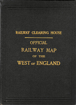
John Airey Airey's Railway Map of Lancashire & District 1887, cloth-backed dissected folding map, hand-coloured in outline, 28 x 30"; and Railway Clearing House Official Railway Map of the West of England, 1918; both cloth-bound, gilt, the former with front cover detached. (2)